El Plano (Sax) — L'Avaiol
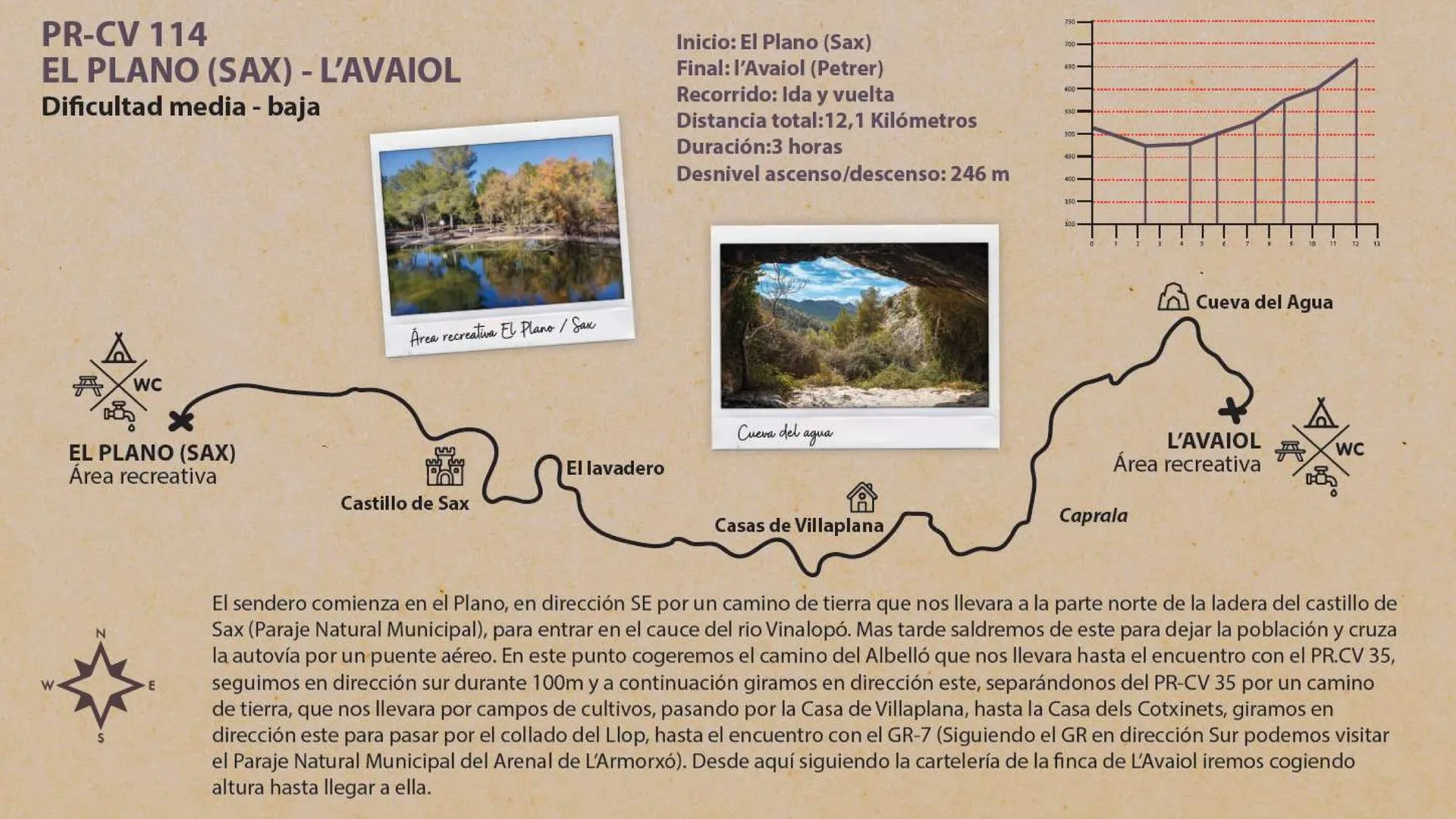
- 12,1 km Distance
- 3 h Duration
- 246 m Elevation gain/loss
- Out and back Route
Route and description
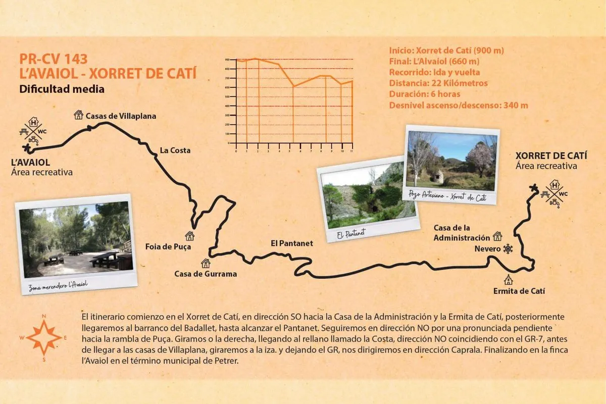
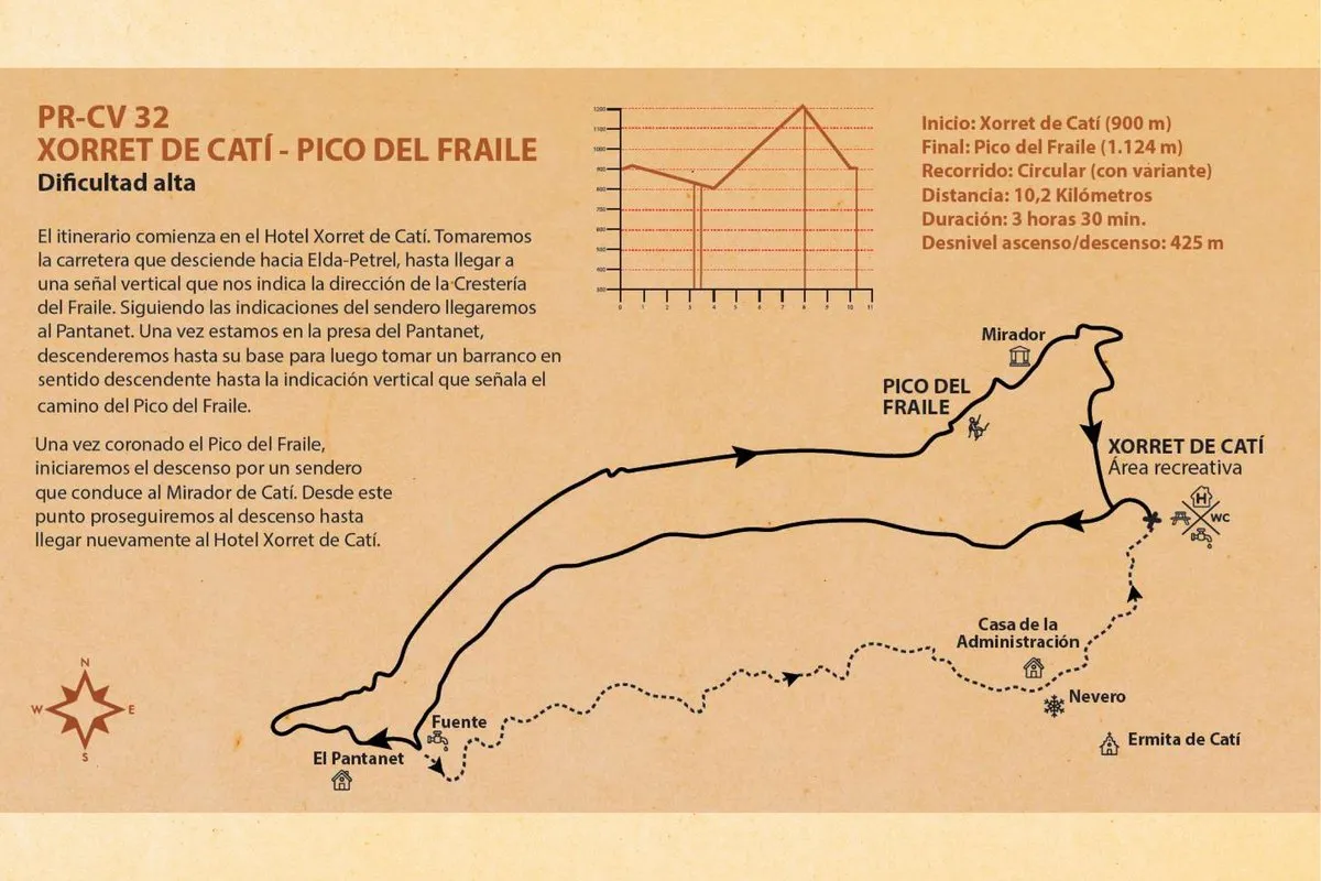
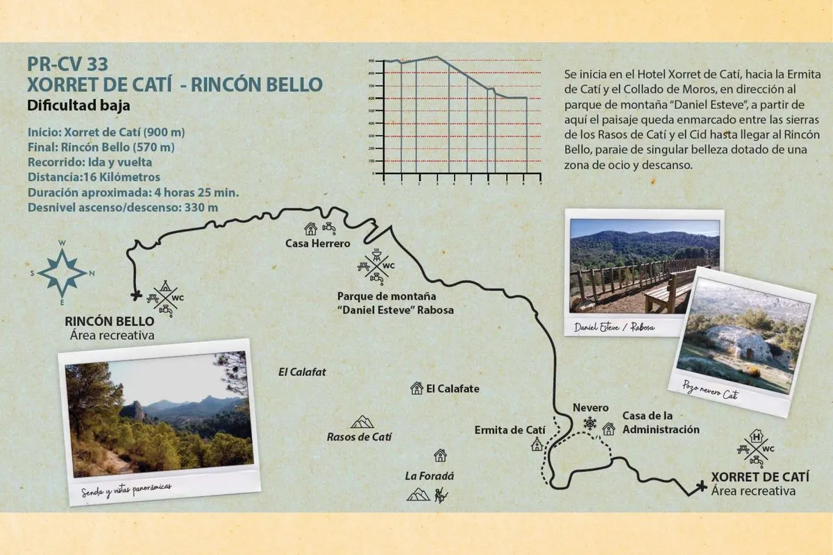
The trail begins at the El Plano recreational area, heading southeast along a dirt track that leads us to the northern part of the hillside of the Castillo de Sax (Municipal Nature Reserve), entering the bed of the river Vinalopó. Later we leave the town and cross the motorway over an overpass. At this point we take the Albelló track until we meet the PR-CV 35; we continue south for 100 m and then turn east, leaving the PR-CV 35 along a dirt track that carries us through farmland, passing the Casa de Villaplana as far as the Casa dels Cotxinets. We turn east to pass over the Collado del Llop, until we meet the GR-7 (by following the GR southward you can visit the Municipal Nature Reserve of the Arenal de l'Almorxó). From here, following the signposting of the l'Avaiol estate, we gradually gain height until we reach it.
Elevation
Approximation based on the official Petrer en Verde mapping.